About the Project and the Cemetery
by Wesley Johnston
|
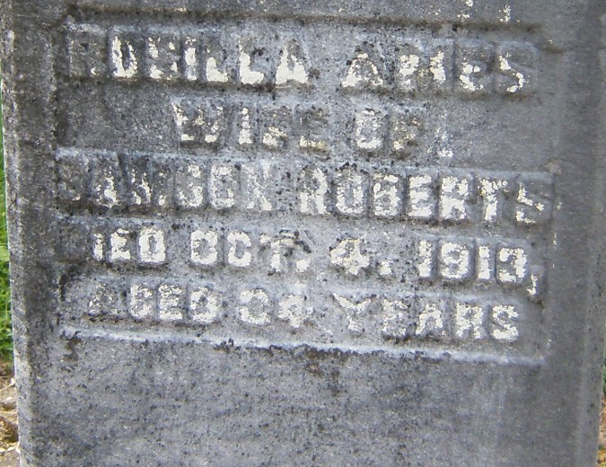
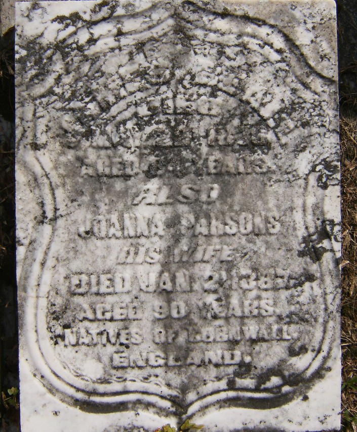
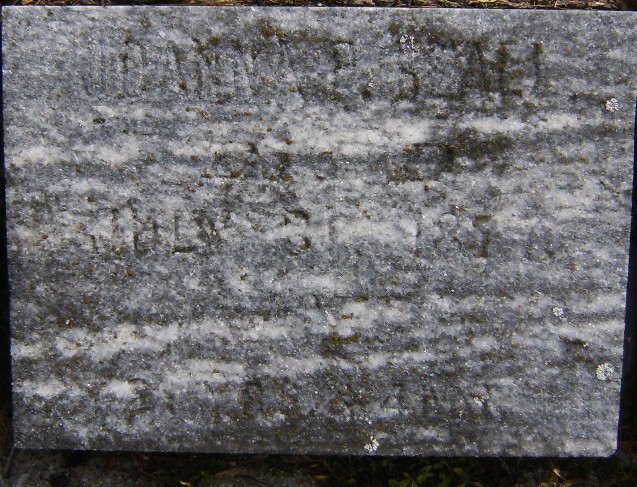
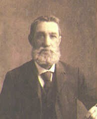
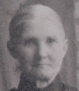
This is not a cemetery project. It is a local and family history project. I am seeking to understand who the people of the community were in the middle 1800's and to see how these families were related to each other. There is already an a publication by the Durham Branch of the Ontario Genealogical Society that contains transcriptions of the grave stones. However, as you will see below, what I do goes well beyond the grave stone information. Since it does start with the headstones, I will post all of them here, and as I can work on each one I will expand it into one of the blocks of detailed information. I am not an expert on this church and cemetery. So there are probably errors here, and there is probably a lot more to know about the congregation and the history of the church and the cemetery than you will find here. But my ancestors, Solomon and Jane (Keam) Butson and their children, are buried in the Columbus St. Paul's Anglican cemetery. And many close relatives are buried in the Columbus Methodist Cemetery. This entire project would not have been possible without the extensive work of Christine Ferguson and her son Rob Evans, both of Oshawa, to photograph every one of the stones in the cemetery, so that they could be included here. Christine is a cousin of my Gibson cousins. (My Solomon Butson's son Henry's daughter Emma married John Johnston, who was the half-brother of James Gibson, the ancestor of Christine and my cousins, through his granddaughter Hilda Gibson Clapper.) Project Database: The project has an Ancestry.com tree, which contains all of the research (expect for a couple of the first St. Pual's families) that I did for these web pages. Click here to see that tree, if you are an Ancestry.com member. Since non-members of Ancestry cannot see the tree nor the attached (several hundred) documents, you can see a frozen snapshot version of the tree at here. |
|
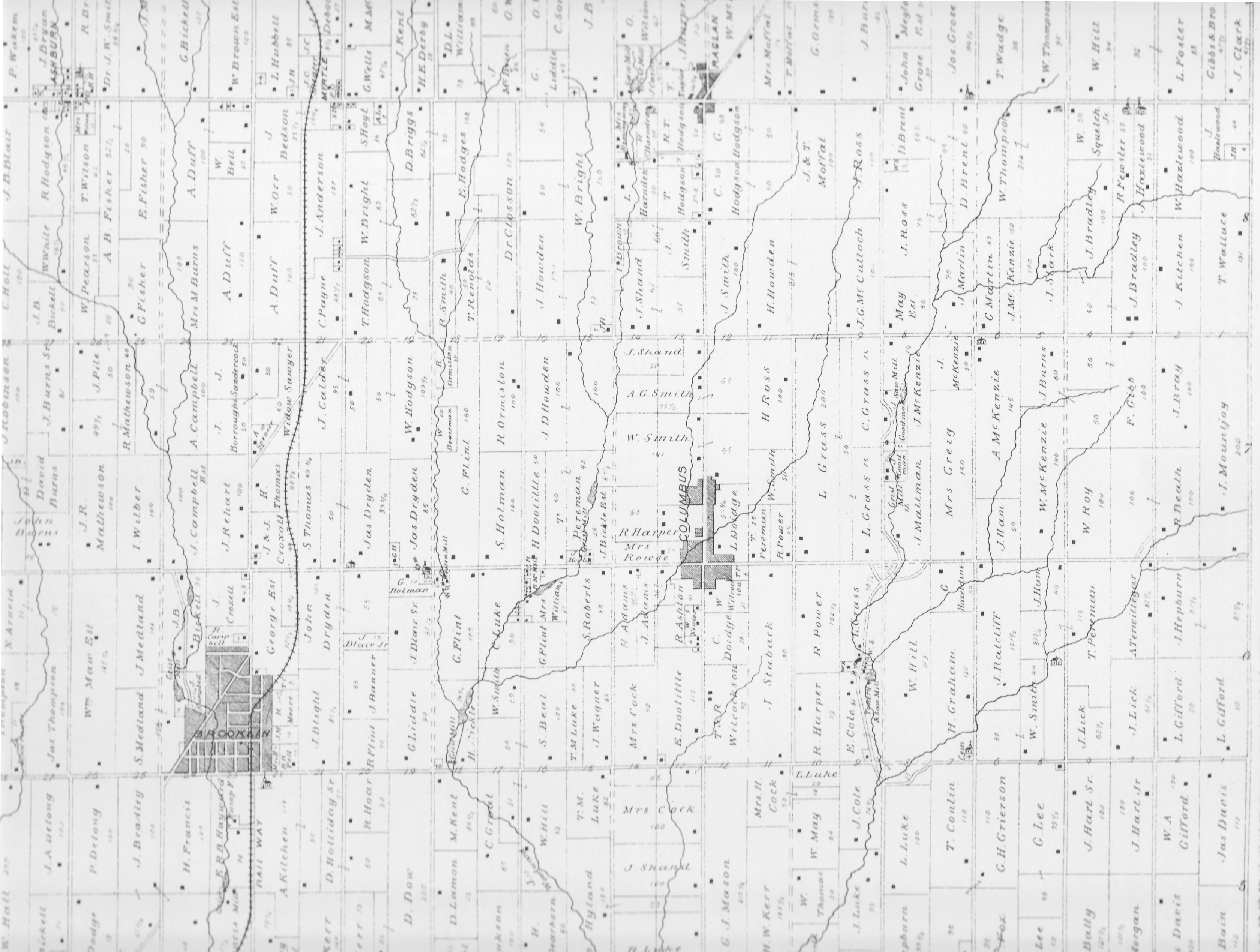
The Town The town of Columbus, Ontario was originally called English Corners, probably due to the concentration of so many families of English and Cornish origins who lived there and on the surrounding farms at the southeast part of Ontario County, in East Whitby Township (see 1877 atlas map below). To the south is Oshawa. Even closer to the west is Brooklin (formerly known as Winchester, north of Whitby). Two concessions to the north is the crossroads post office of Raglan (apparently called Newton in 1851), and further north along the same road is Port Perry. If you are using Google Earth, use 43°58'57.26"N and 78°54'41.17"W. Until 1852, there was no Ontario County. Prior to 1852, the townships of what became Ontario County were part of the Eastern Riding of York County. Whitby Township was split vertically in half on January 1, 1858 (under the terms of the Baldwin Act, Chapter 81, Canada Statutes, 1849), with the eastern half becoming Whitby East Township. The lot numbers from 1 to 18 became Whitby East, with the lot numbers from 19 to 36 continuing as Whitby Township. In 1974, Ontario County was dissolved and most of its townships became part of the Regional Municipality of Durham. At that time, East Whitby Township and the city of Oshawa were amalgamated into the city of Oshawa (which had officially become a city in 1924). (See the Ontario County GenWeb for more on this.) A very good site for historic maps of this area is the Port Perry/Scugog Heritage Gallery. |
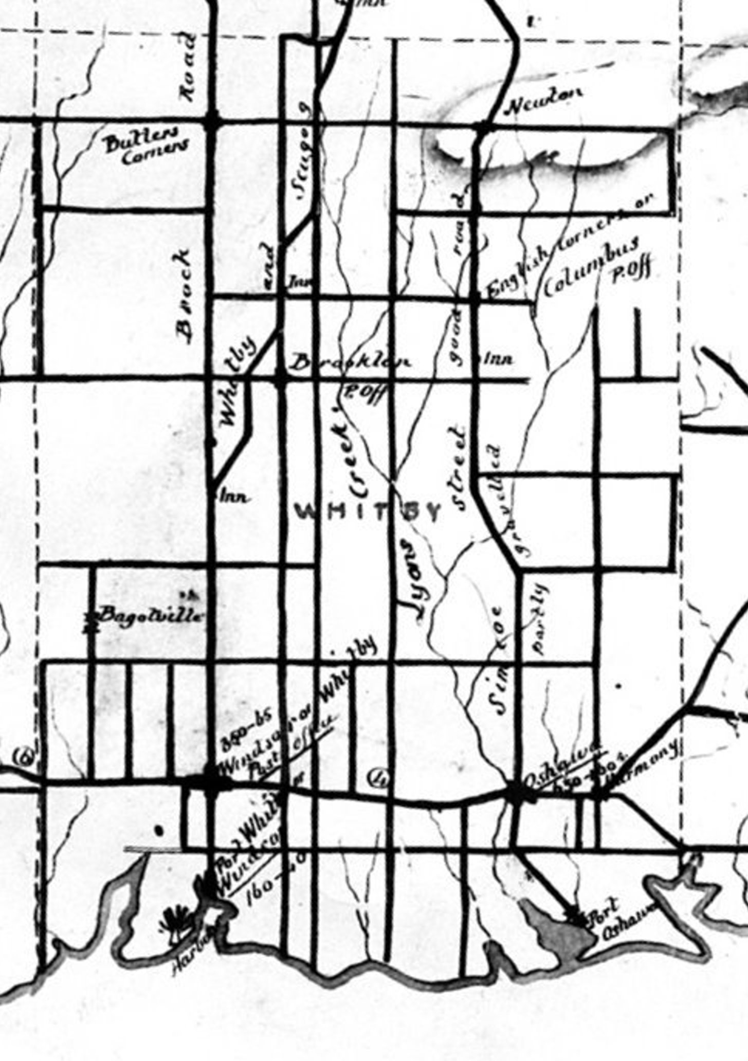
Click on the map to see all of Whitby Township in 1851. Click here to see an 1888 map of south Ontario & Durham Counties. |
|
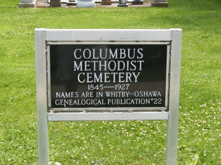
The Cemetery
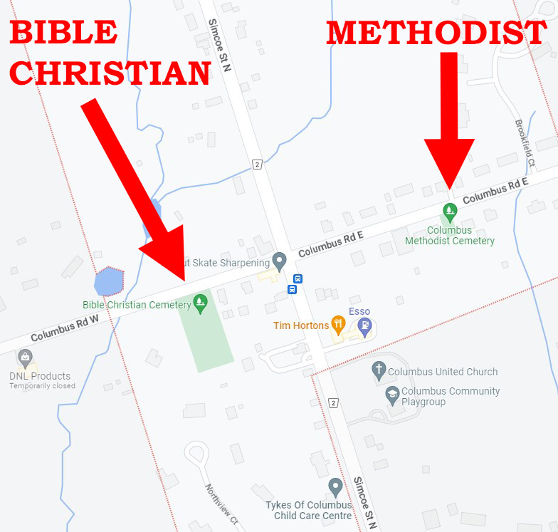
The cemetery is located in Columbus, between the fourth and fifth houses east of Simcoe Street (43°58’58.11” N, 78°54’32.08”W on Google Earth), though it is not shown in the 1877 atlas. The Church I have no information about the church. |
|
|
Where They Lived
I am still working on the "1851" (really taken in 1852) agricultural census, which shows the lot and concession numbers of the farmers, so that I can fully establish just where the St. Paul's Anglican Cemetery families lived. They were NOT just in the Columbus area. For example, Solomon BUTSON lived on Concession 9 Lot 6, which is several miles northeast of Columbus and even further from the church and cemetery. Censuses of 1851 and 1861 Since I do not yet know the range, I may have to add to the following. You can click on the links below to see PDF files of the original census images.
|
|
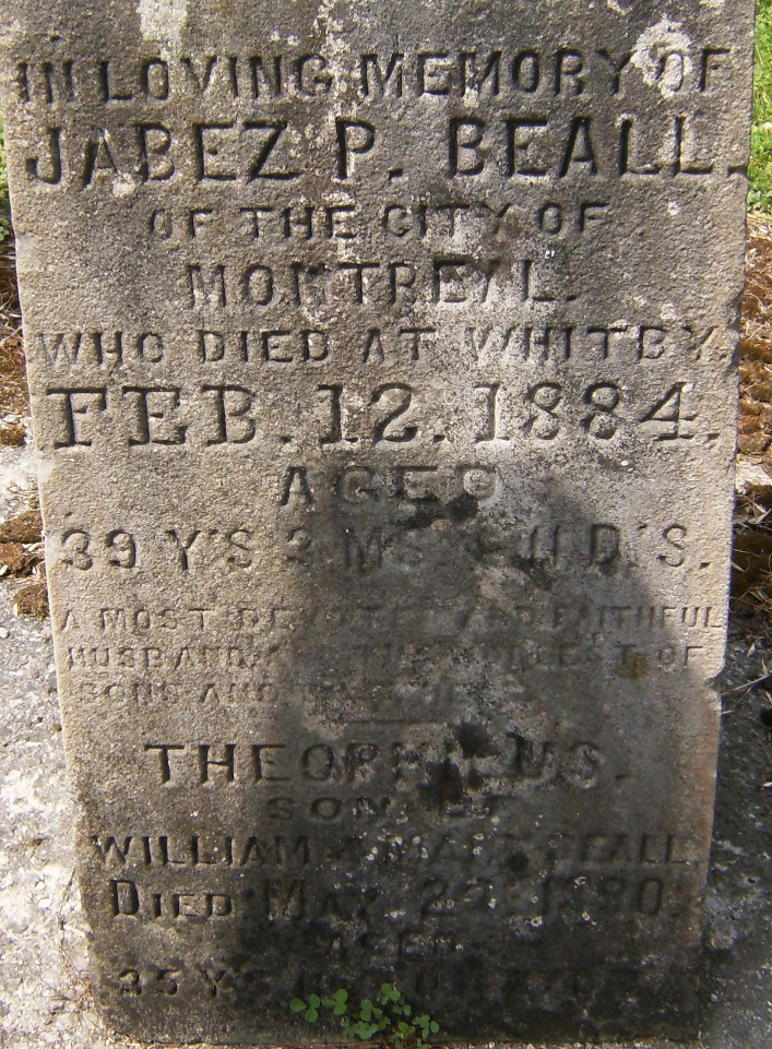
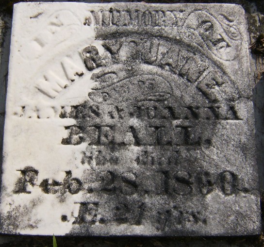
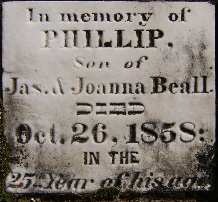
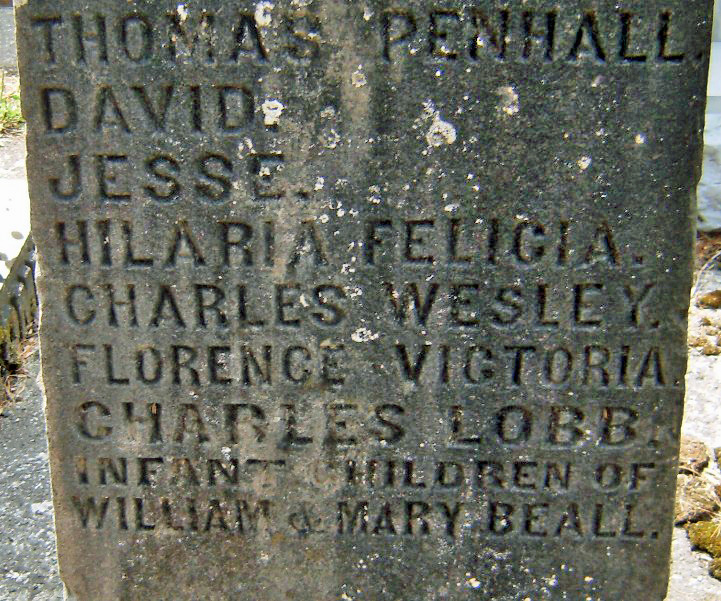
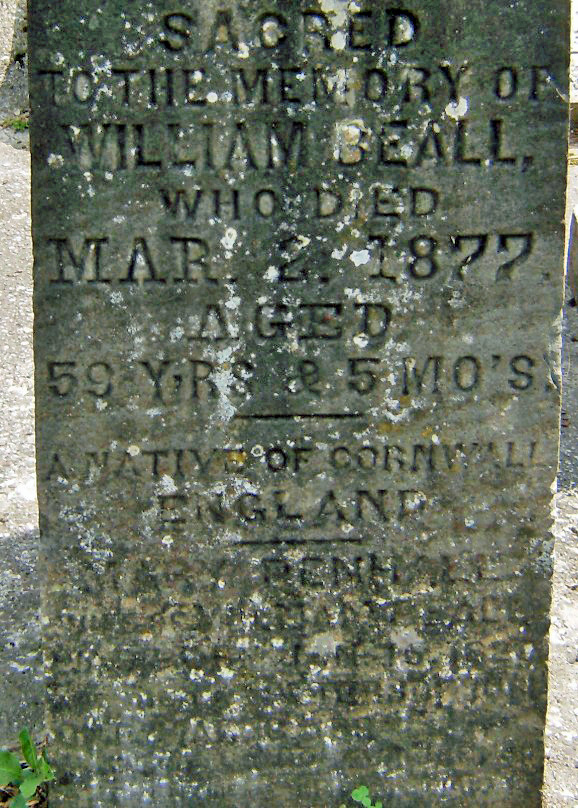
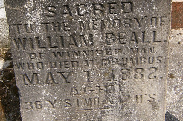
Related Web Page "From Cornwall to Canada in 1841" is my web page about the 1841 voyage of four ships from Cornwall to Canada. The ships carried 600 Cornish people, mostly from the area of St. Blazey and nearby at St. Austell and Luxulyan. After the long narrative, at the bottom of the web page, I have information about the families and other families that came from the same area of Cornwall to the same area of Canada. For example, the Bealls came in 1840, and there are many Bealls buried in the Columbus Methodist cemetery, and the Butsons came in 1840 and are buried in the Oshawa Pioneer Garden and St. Paul's (as well as at Groveside and Port Perry and -- in the Huron Tract -- Staffa). |